Hartlepool Sports & Leisure
Hartlepool Transport
A Potted History Of Hartlepool
Hartlepool Trade & Industry
Hartlepool Health & Education
Hartlepool People
Hartlepool Places
Hartlepool at War
Hartlepool Ships & Shipping

Related items :
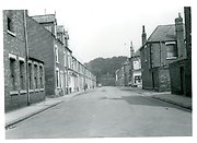
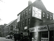
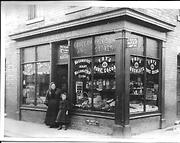
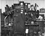
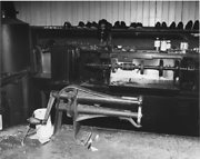
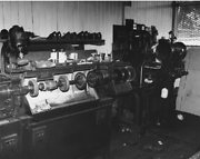
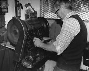
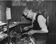
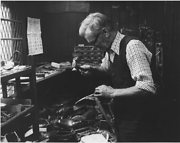
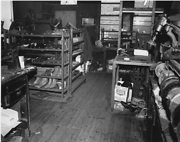
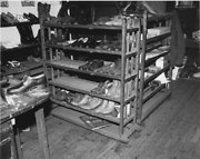
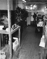
 Anderson and Gow
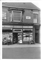 Donated by Hartlepool Library Service
Part of the Library collection collection
Dated 1960
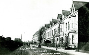
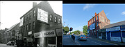
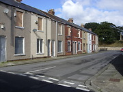
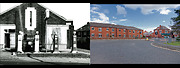
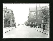
Bellaby Terrace in Hart Lane - then and now
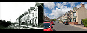 Created by Bill Stevenson
Donated by Hartlepool Library Service
Created by Bill Stevenson
Donated by Hartlepool Library ServiceDated 2012
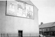
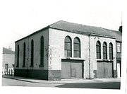
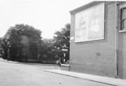
Building of Sacred Heart School
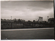 Donated by Robert Wood Collection
Part of the Hartlepool Museum Service collection
Dated 1933
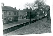
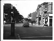
Leemings Garage Hart Lane then and now
 Created by Bill Stevenson
Donated by Hartlepool Library Service
Created by Bill Stevenson
Donated by Hartlepool Library Service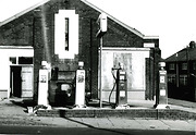
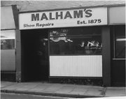
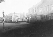
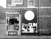
Raby Road / Middleton Road
 Donated by Douglas Ferriday
Part of the Hartlepool Library Service collection
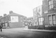
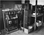
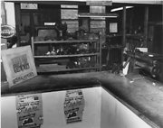
The Nursery
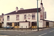 Created by W Henderson
Donated by W Henderson
Created by W Henderson
Donated by W HendersonPart of the Hartlepool Public Houses collection